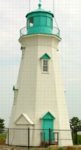
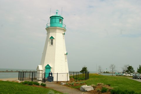
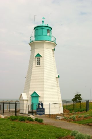
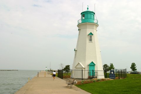
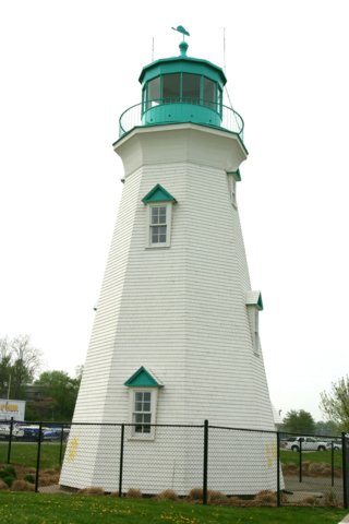
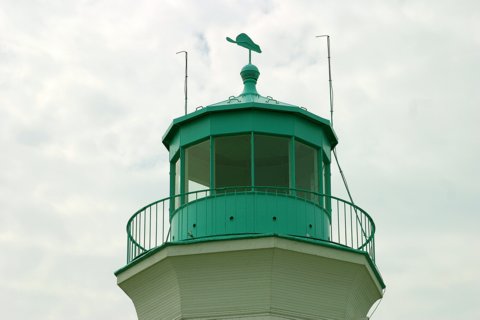
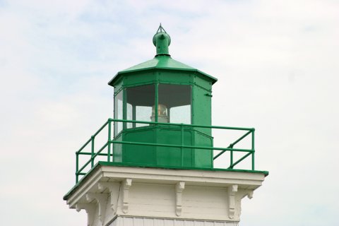
Port Dalhousie Rear Quick Facts Year Station Established: 1852 Is the Light operational? No Year Light First Lit: 1898 Year Deactivated: 1988 Shape: Octagonal Tower Height: 40 ft. Original Optic: Present Optic:
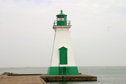
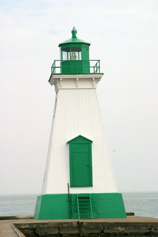
Existing Keepers Quarters? No Port Dalhousie Front Quick Facts Year Station Established: 1852 Is the Light operational? Yes Year Light First Lit: 1879 Year Automated: 1968 Shape: Square Pyramidal Tower Height: 42 ft. Original Optic: Present Optic:
Existing Keepers Quarters? No |
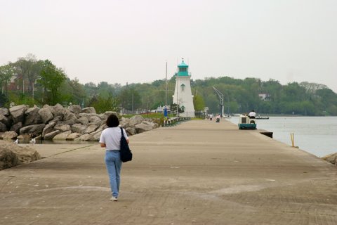
Port Dalhousie Range Lights
|

 |
More Photos
(10 photos, 197KB total download)
|
Last Visited: May, 2004
History: Source:
Rudy and Alice's Lighthouse Page Hours:
Latitude/Longitude: 43.207021,-79.263228 Nearest Address: 80 Lighthouse Rd St Catharines, ON L2N 7P5, Canada Directions:
|


| HOME |
Lighthouse Videos |
FREE Screensavers |
Games & Puzzles |
|
| Lighthouse Tours | Lighthouse LINKS | Accomodations | FAQ |
Contact Us |
All pages and photos copyright © 1996-2026,
Gary P. Richardson and Anna P. Klein, unless otherwise noted.
No images or content on this site may be copied or reproduced without prior permission.
Visit Anna and Gary's Website at https://www.photosetc.net
Back to Top