|
Last Visited: November, 2002
History:
As early as 1838 a naval officer recommended erecting a lighthouse at Crown Point near the south end of Lake Champlain. Fifteen years later the need was still being noted "to enable vessels to pass with safety through the dark narrow channel at Chimney Point". Finally, in 1858, the recently created Lighthouse Board erected another "Sister" on a seven-acre site at Crown Point near the historic ruins of Fort St. Frederic and the British Grenadier Battery. This station was similar to the two at the North end of the lake, an octagonal tower of gray limestone block with an attached wood frame Cape Cod cottage for the keeper. At a height of 55 feet, the fixed white light in a fifth order lens stood 83 feet above the lake and was visible for 15 miles.
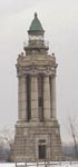
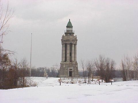
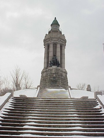
In 1910, the Champlain Tercentenary Commission received permission from the new Lighthouse Bureau to commemorate the great explorer by altering the stone tower into a neoclassical memorial at a cost of $50,000. The plain limestone exterior was replaced with a granite base and eight Doric columns supporting an ornate cornice, parapet and elaborately detailed lantern. This monument formality almost obscured its function as a lighthouse.
The light station remained in operation until the Crown Point bridge crossing to Chimney Point, Vermont was completed in 1929, when the keeper's house was torn down. The site is now a State Park with public access to both the old light tower in the memorial and the historic forts.
Source:
Lake Champlain Lighthouses

Latitude/Longitude: 44.029883,-73.42157
Nearest Address: Adirondack Park Preserve, Crown Point, NY
Directions:
- From Interstate 87 take exit 31. At the end of the ramp turn onto route 9N heading south.
- Stay on 9N for 16.8 miles, then turn left onto NY-185.
- Take NY-185 for 3.8 miles until you come to the Crown Point bridge and the light tower on your right.
View Larger Map
|

