Ten Pound Island
|
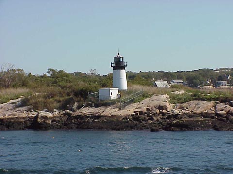
Ten Pound Island Quick Facts
Year Station Established: 1827
Is the Light operational? Yes
Year Light First Lit: 1835
Year Automated: 1934
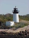
Shape: Conical
Tower Height: 38 ft.
Original Optic: Argand Lamps
Present Optic: 4th Order, Fresnel
Existing Keepers Quarters? Yes
Year Constructed: 1827
Number of Stories: 1.5
Architectural Style: Cape Cod
Construction Materials: Wood
|
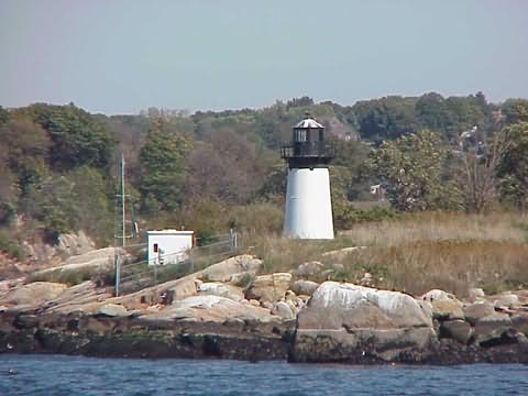
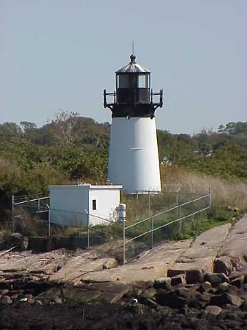
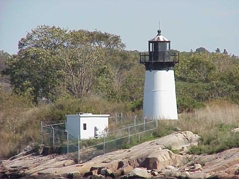
Ten Pound Island Lighthouse
Gloucester, MA
More Photos
(4 photos, 126KB total download)
|
Last Visited: April, 2002
History:
To help mariners find their way into Gloucester's inner harbor, and to help them avoid a dangerous ledge to the southwest of the island, Congress appropriated funds for a light station on Ten Pound Island in May 1820.
A 20-foot conical stone lighthouse tower was built, along with a stone dwelling. The light was in service by October 1821, with a fixed white light exhibited from 39 feet above mean high water.
A new 30-foot cast-iron lighthouse tower, lined with brick, was built in 1881 along with a new wood frame keeper's house. A federal fish hatchery facility was added to the island in 1889. The hatchery was abandoned in 1954.
In 1925, a Coast Guard air station was put on the island, with one small scout plane. Later two amphibious vehicles were added to the station.
The initial purpose of the operation was to catch rum runners in the area during Prohibition.
In 1956, Ten Pound Island Light was decommissioned and the fifth-order Fresnel lens was removed, replaced by a modern optic put on the old bell tower, later moved to a skeleton tower. The Fresnel lens is now at the Maine Lighthouse Museum in Rockland, Maine.
The keeper's house and outbuildings (except for the oil house, which survives) were reduced to rubble. Ownership of the island reverted to Gloucester from the federal government.
Source:
New England Lighthouses: A Virtual Guide

Latitude/Longitude: 42.601916,-70.665641
Nearest Address: 25 Fort Square, Gloucester, MA
Directions:
- Take route 128 to route 127 into Gloucester Center.
- Once through Gloucester center take a right onto Commercial St.
- Follow Commerical St. to Fort Sq. Views of the lighthouse can be seen from Fort Point.
View Larger Map
|


|