Dice Head Light
|
Dice Head Quick Facts
Year Station Established: 1829
Is the Light operational? No
Year Light First Lit: 1829
Year Deactivated: 1937
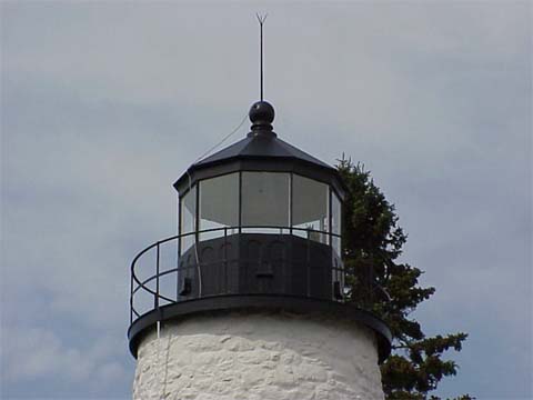
Shape: Conical
Tower Height: 51 ft.
Original Optic: 4th Order, Fresnel
Present Optic: None
Existing Keepers Quarters? Yes
Year Constructed: 1829
Number of Stories: 1.5
Architectural Style: Colonial Cape
Construction Materials: Wood
|
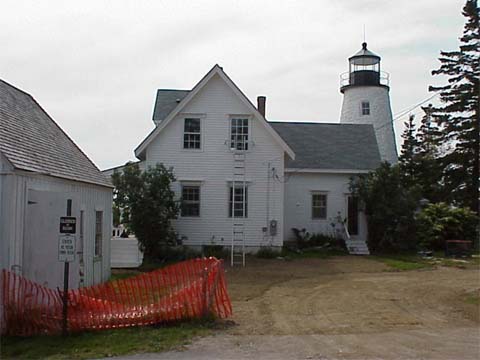
Dice Head Lighthouse
Castine, ME
More Photos
(5 photos, 152KB total download)
Dice Head Lighthouse Videos
[Video]
|
Last Visited: February, 2004
History:
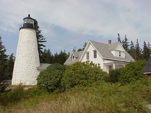
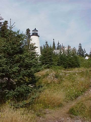
Dice Head light sits high above the entrance to the Penobscot River in the town of Castine. The current tower is not an active light anymore as there is a small skeletal tower closer to the shore of the river that acts as the functioning aid to navigation. In 1999 there was a fire in the keeper's house that nearly destroyed the roof. Work has been done to restore the keeper's house to its original state.
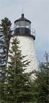
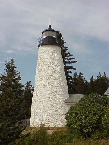
This 40 foot tall rubblestone, conical tower sits on a tall head on the north side of the entrance to Castine Harbor in upper Penobscot Bay. It's light had a focal plane of 130 feet. The tower was encased in an octagonal wooden covering in 1858 to protect it from the elements. The covering was removed sometime around 1900. The Dice Head (sometimes spelled Dyce) tower and attached 1-1/2 story colonial keeper's dwelling are owned by the town of Castine.
Source:
Internet Public Library
Hours:
The lighthouse and dwelling are not open to the public but the grounds surrounding it are.

Latitude/Longitude: 44.382827,-68.818966
Nearest Address: 4 Dyces Head Rd, Castine, ME
Directions:
- From Camden, take Route 1 for 39 miles, through Lincolnville, Belfast, Searsport, and Stockton Springs into Orland.
- In Orland, take Route 175 south.
- Stay on 175 south for appx. 8.8 miles. You will come to a point where you can bear left onto Route 166 or right onto 166A.
- Bear right onto Rout 166A. Follow 166A to the end where it will meet up with Route 166 (it's shorter than taking Route 166 to begin with).
- Route 166 will take you into Castine, which it then becomes Battle Road.
- Stay straight on Battle Road and it'll take you to Dice Head Light.
View Larger Map
|


|