|
Last Visited: August, 2002
History:
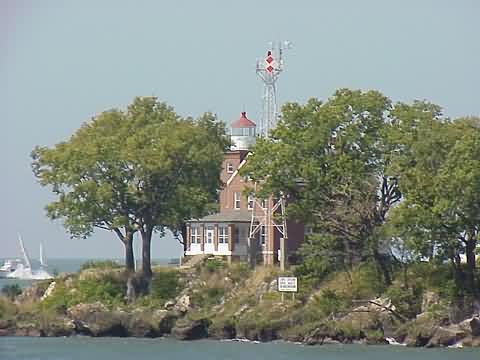
On February 15, 1893, the US Lighthouse Board approved construction of a lighthouse on South Bass Island and appropriated $8,000 for the project. The federal government purchased the lighthouse site (on the extreme southwest shore of the island) from Mary and Alfred Parker on May 18, 1895.
During the years the South Bass Island lighthouse operated the technology associated with navigational systems advanced greatly. In 1962, as lighthouse keeper Prochnow neared retirement, the U.S. Coast Guard decided to automate the lighthouse. A steel tower with an electronic light was built on the property.
Lighthouse ownership was transferred from the Coast Guard to the U.S. Department of Health, Education, and Welfare's Division of Surplus Property in 1967. Noting the many research advantages of the site and its close proximity to The Ohio State University's Stone Laboratory (on Gibraltar Island), the University Trustees agreed that Ohio State would accept care of the property. In October 1967, the property was transferred to Ohio State by a 30-year Quit Claim Deed. The deed ended in 1997 when permanent ownership was transferred to the university (the Coast Guard maintains ownership of the tower).
In 1983 the National Oceanic and Atmospheric Administration installed a $50,000 meteorological station enabling satellite transmission of weather statistics to the National Weather Service.
The lighthouse was placed on the National Register of Historic Places on April 5, 1990.
Source:
Ohio State University
Hours:
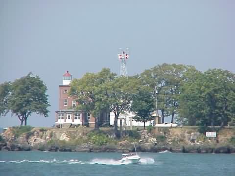
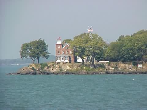
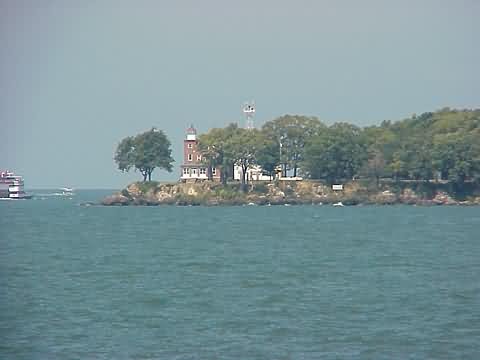
Although the lighthouse grounds are not open to the public, it is visible while approaching the island by ferry or boat and the University does host an annual open house.
Personal Note:
To get to South Bass Island you can take a ferry from Catawba Island to South Bass Island. Miller Ferry offers many ferries each day. Go to http://www.millerferry.com for more details.

Latitude/Longitude: 41.629349,-82.838248
Nearest Address: 5174 Water St, Port Clinton, OH
Directions:
- To get to Miller Ferry - From OH-2 take exit 124 onto OH-53 north.
- Take OH-53 north for about 6.3 miles to the ferry terminal.
- Once on South Bass Island, at the southern tip, you'll need to get to the northern end of the island. Simply take CR-163 north (Langram Rd) for 2.0 miles then bear left onto Toledo Ave (from the map it looks like they're the same road)
- At the end of Toledo Ave. (in 0.3 miles) take a right onto SR-357, Bayview Ave. In 0.2 miles you'll be at the park where the Perry Memorial is.
View Larger Map
|


